Blended Intensive Programme: Using Drones in Environmental Sciences
- Published on
- Authors

- Name
- Victor Ademoyero
- @vickystickz
Overview
This spring I took part in a CIVIS Blended Intensive Programme titled Using Drones in Environmental Sciences, coordinated by the University of Bucharest together with partner universities across the CIVIS alliance. The programme ran from late February through mid June 2026, mixing a series of online sessions with a week of hands-on fieldwork in Romania.
I signed up because I work as a geospatial analyst, and drones were something I understood on paper but had never actually done. I could follow a photogrammetry workflow or read an orthomosaic and know what I was looking at, but I had never planned a flight myself, worked out overlap and altitude settings, or dealt with the messy reality of turning raw imagery into a usable dataset. Closing that gap between reading about it and doing it was the main thing I wanted out of the programme.
There was a practical reason too. For future projects, I want drone-based methods to be a tool I can actually reach for rather than something I only know secondhand. Getting hands-on experience with data acquisition and processing now is what makes that possible. I expect it to carry into the work I care about most, mainly environmental monitoring and urban planning, where the quality of your spatial data often decides whether a decision holds up or falls apart.
About the programme
The BIP format is built around two phases. The first is a run of online classes delivered over several months, and the second is a short physical mobility where participants meet in person to put the theory to work. It is designed so that students from different countries and disciplines can collaborate without needing a full semester abroad.
This particular edition was led by Associate Professor Ionut Sandric from the University of Bucharest, whose field is Geoinformatics and Earth Observation. The teaching team pulled together expertise from four institutions:
- University of Bucharest — Associate Professor Ionut Sandric (Geoinformatics and Earth Observation), Professor Cristian Ioja (Environmental Sciences), and Assistant Professor Gabriel Vanau (Environmental Sciences)
- Paris Lodron University of Salzburg — Dr. Manfred Mittlboeck (Geoinformatics and Remote Sensing)
- University of Tübingen — Professor Volker Hochschild (Geoinformatics and Remote Sensing)
- Universidad Autónoma de Madrid — Carmen Hidalgo Giralt and Barrado Timon Diego Antonio (both in Human Geography)
Having lecturers from geoinformatics, remote sensing, environmental science, and human geography meant the same topic often got looked at from more than one angle, which I found more useful than a single-discipline course would have been.
Topics covered
The syllabus was organised around six themes that built on each other:
- Drone technology and operations — the different types of drones, their components, and how flight operations actually work
- Data acquisition and processing — collecting, processing, and analysing drone-captured data, including photogrammetry and remote sensing
- Environmental monitoring — using drones to track environmental change, assess biodiversity, and support natural resource management
- Urban planning — mapping, infrastructure inspection, and urban development analysis
- Regulations and ethics — the legal frameworks, safety considerations, and ethical questions around drone use
- Case studies and practical applications — real examples and hands-on projects grounded in environmental and urban contexts
The online phase
The lectures ran roughly every two weeks over Microsoft Teams, and the sequence moved deliberately from the basics of the technology toward more specialised data processing:
- 23 Feb 2026: Introduction to Drones in Environmental Studies
- 9 Mar 2026: Drone Regulations and Safety Requirements
- 23 Mar 2026: Drone Flight Planning and Data Acquisition
- 6 Apr 2026: Fundamentals of Drone Data Processing Algorithms
- 20 Apr 2026: Processing RGB and Multispectral Drone Imagery
- 4 May 2026: Processing LiDAR Drone Data
- 18 May 2026: Processing Thermal Drone Imagery
- 25 May 2026: 3D Modelling from Drone Data
- 15 Jun 2026: Challenges and Opportunities in Using Drones for Environmental Science
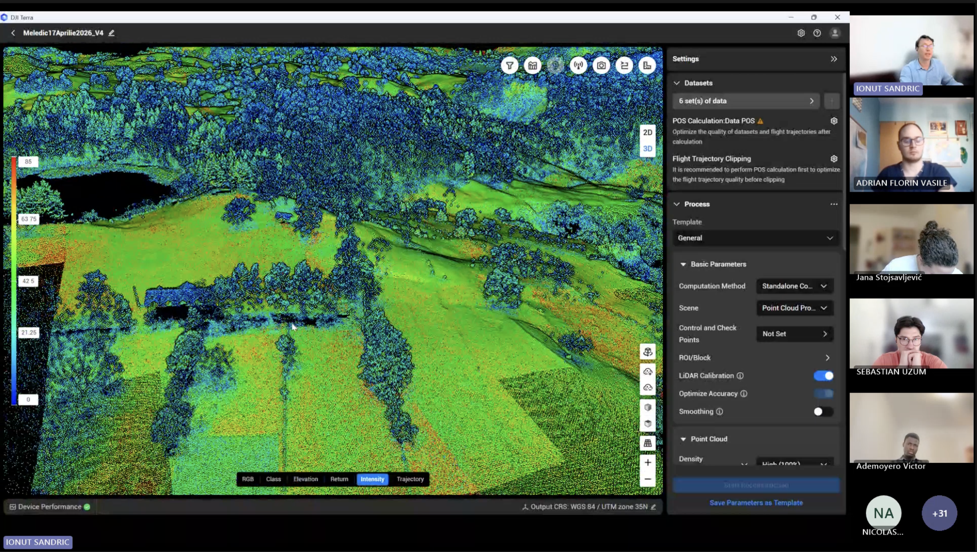
Fig 2.3 Use of Drones for Environmental Sciences Online Session
The early sessions set up the fundamentals: what the hardware does, why regulation matters, and how to plan a flight before you ever take off. The middle stretch got more technical as we worked through processing RGB, multispectral, LiDAR, and thermal data, and then moved into building 3D models from what the drone captures. The final session pulled back to look at where the field is heading.
The thermal imagery session reshaped how I think about the data. I had assumed a thermal image was basically a temperature map you read straight off the sensor. What clicked was that the camera never measures temperature directly. It picks up a blend of the object's own emitted radiation, reflected ambient radiation, and the atmosphere's contribution, and turning that raw signal into a real surface temperature is where the work lives: setting emissivity for the material, correcting for flight height, and calibrating against ground targets of known temperature
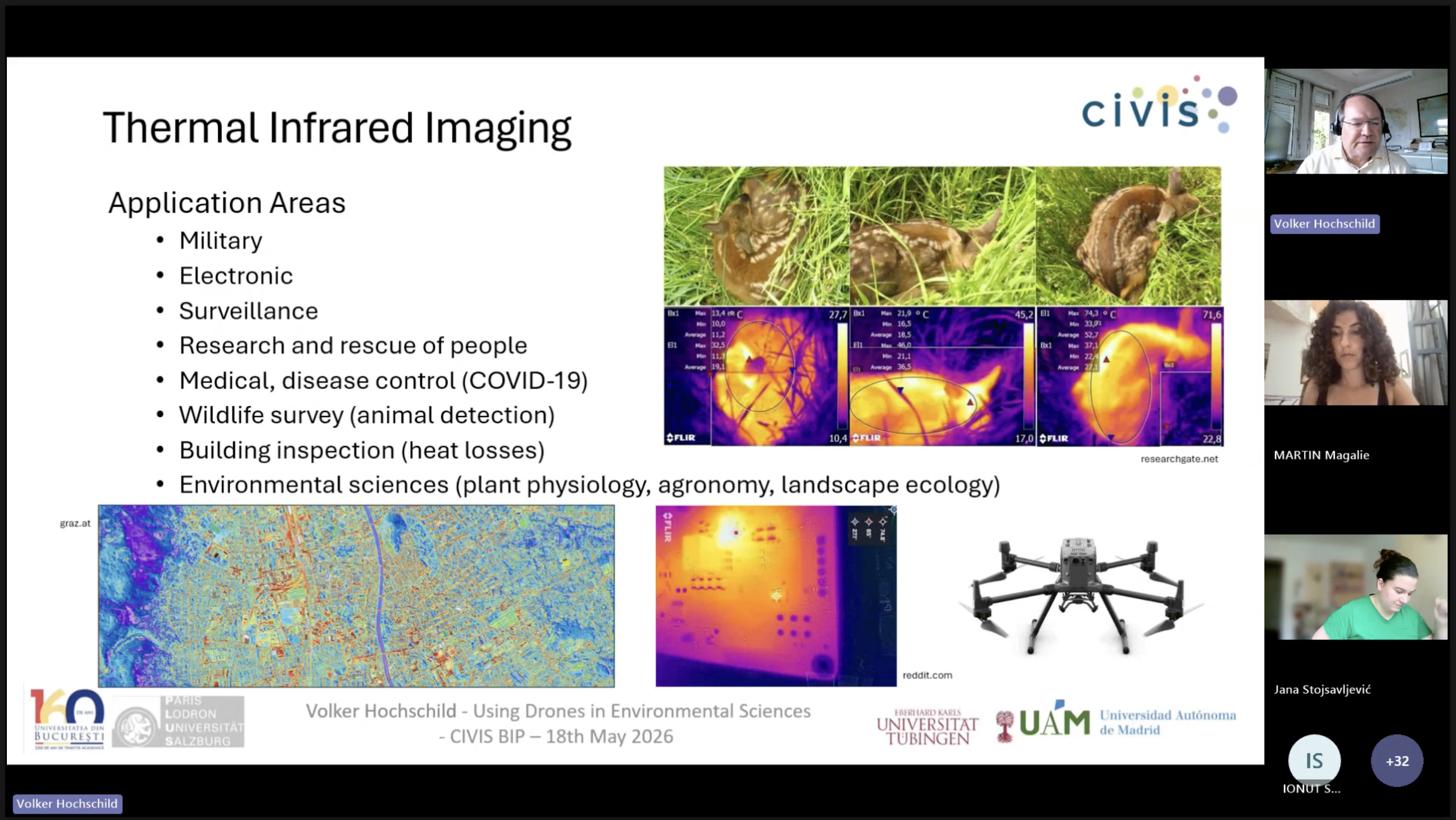
Fig 2.3 Thermal Session
The physical mobility in Sinaia
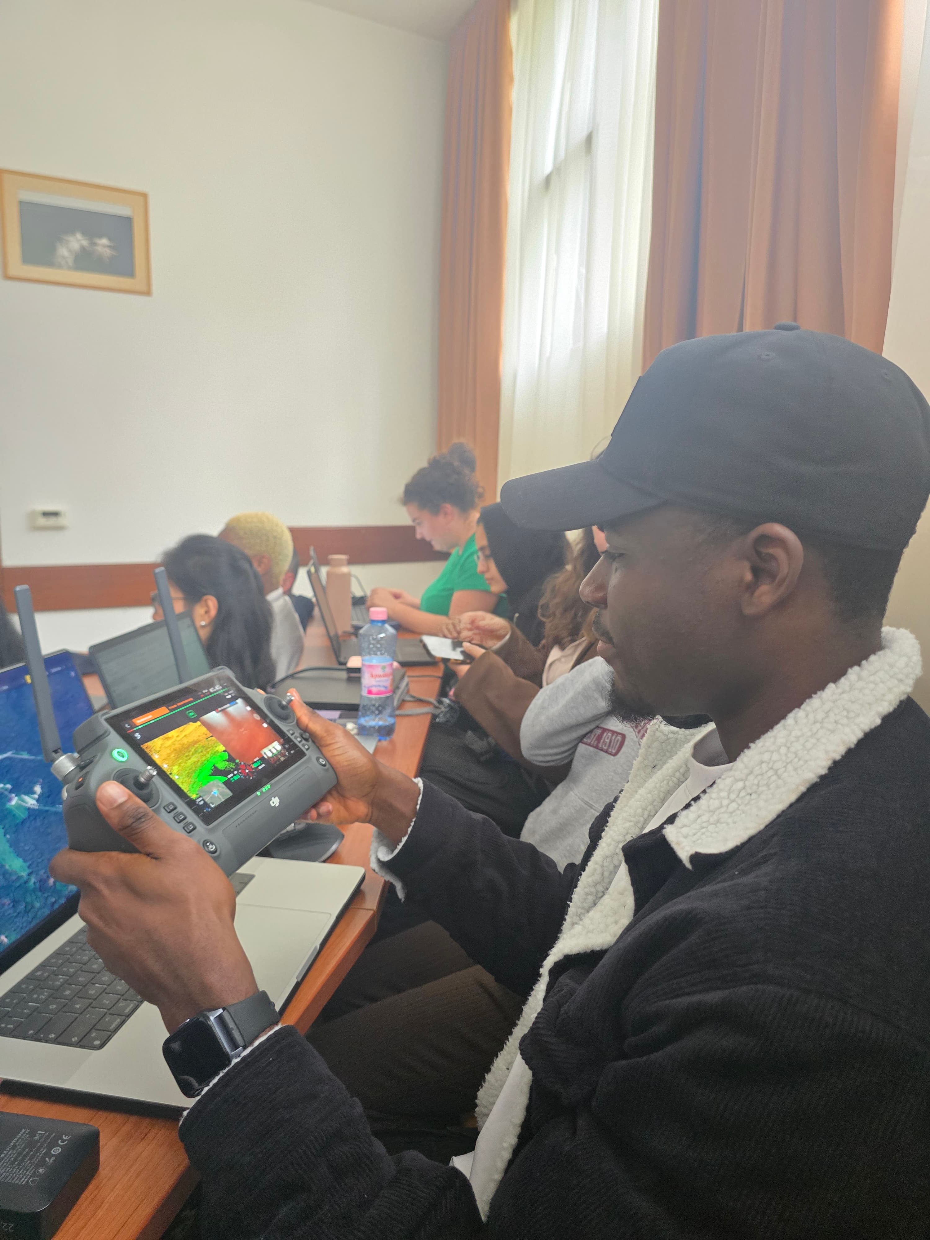
The in-person week ran from 1 to 5 June in Sinaia, Romania, hosted at the University of Bucharest's field station in the Carpathians. After months of screen-based sessions, this was where the learning became tangible: an actual mountain landscape, actual drones, and the messy reality of flying and capturing data outdoors rather than in theory.
Places we visited
- Pestera Ialomiței(Lalomita Cave) 3 June 2026
Set in the Bucegi Mountains, the cave winds through a series of narrow passages that open into the large Bear's Hall, named for the ancient cave bear bones found there. It was a good reminder that the same landscapes we study from the air have a long history hidden underground.
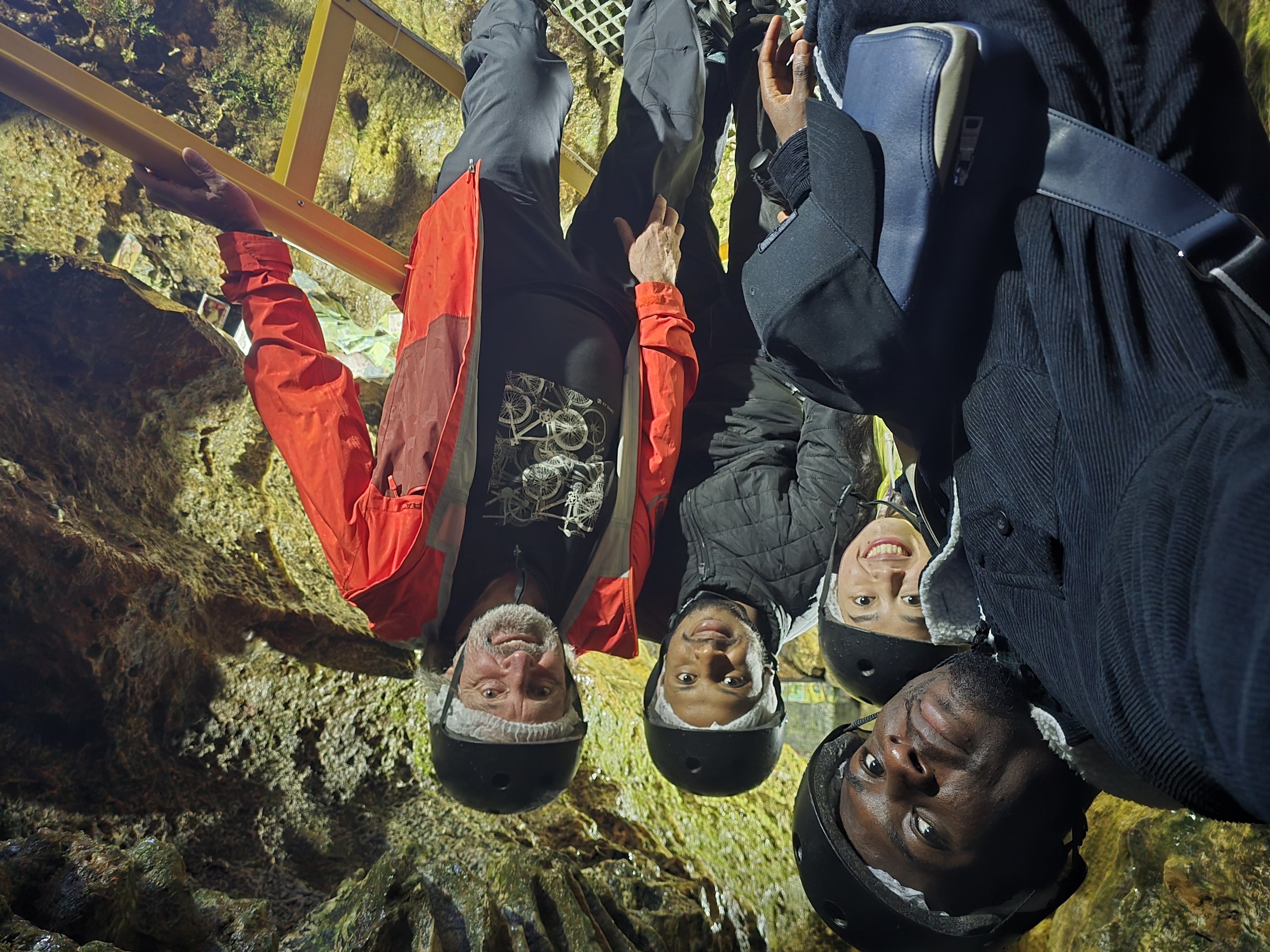
A group picture inside the cave
- The Black Church, Brasov 4 June 2026 The Black Church is a Gothic-style Lutheran church in the city of Brașov, Romania. It is the largest Gothic church in Romania and one of the most important landmarks in the country. The church is known for its impressive architecture, including its tall spire, intricate stone carvings, and beautiful stained glass windows. The visit provided insight into the historical and cultural significance of the church, as well as its role in the local community.
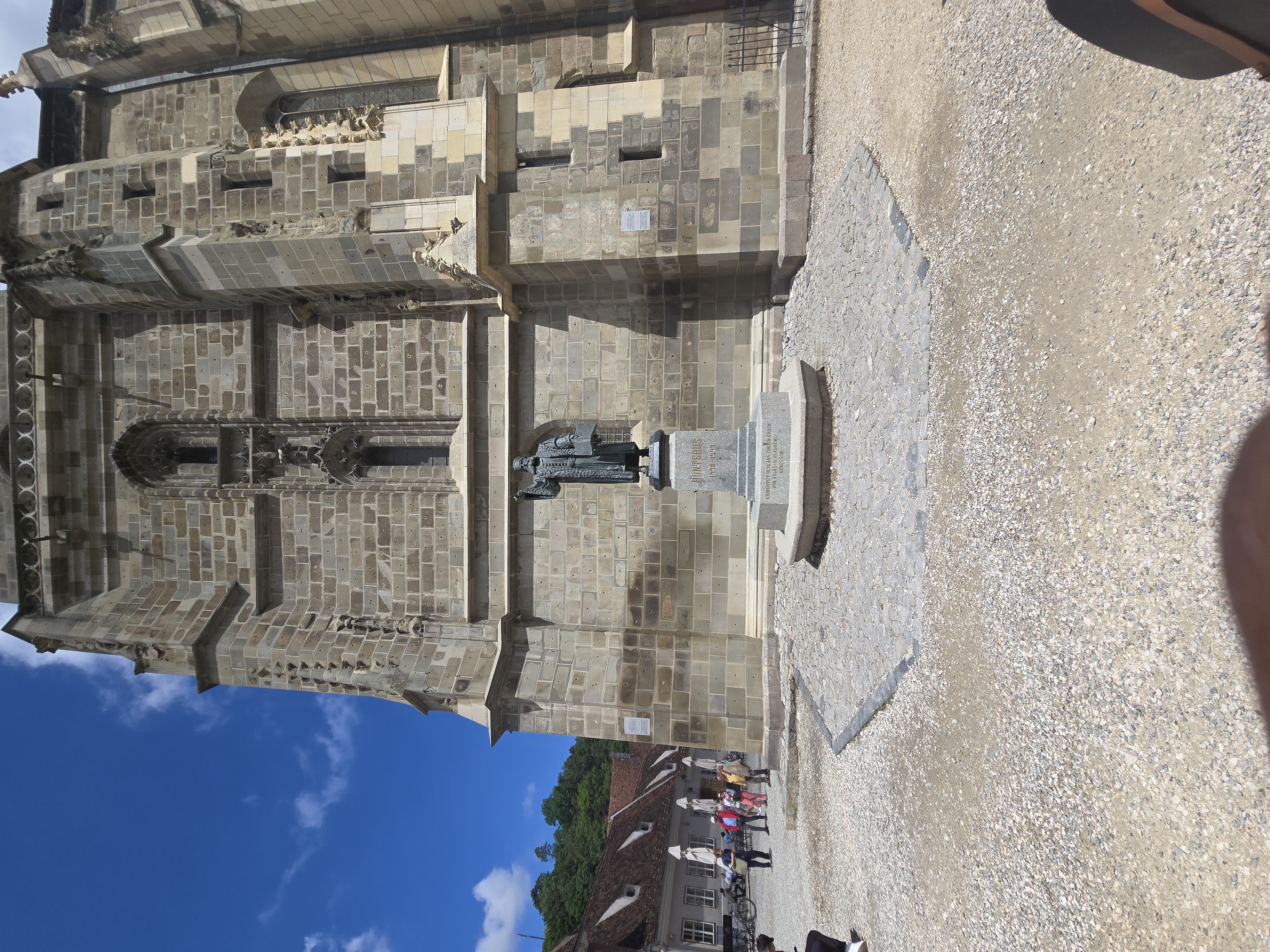
Fig 2.3 Black Church in the city of Brasov
- Bran Castles 4 June 2026
A guided tour took us through Bran Castle and the art and furniture collected by Queen Marie, alongside the stories the place is best known for: its link to the Dracula legend, and the royal secrets and artefacts tied to its past.
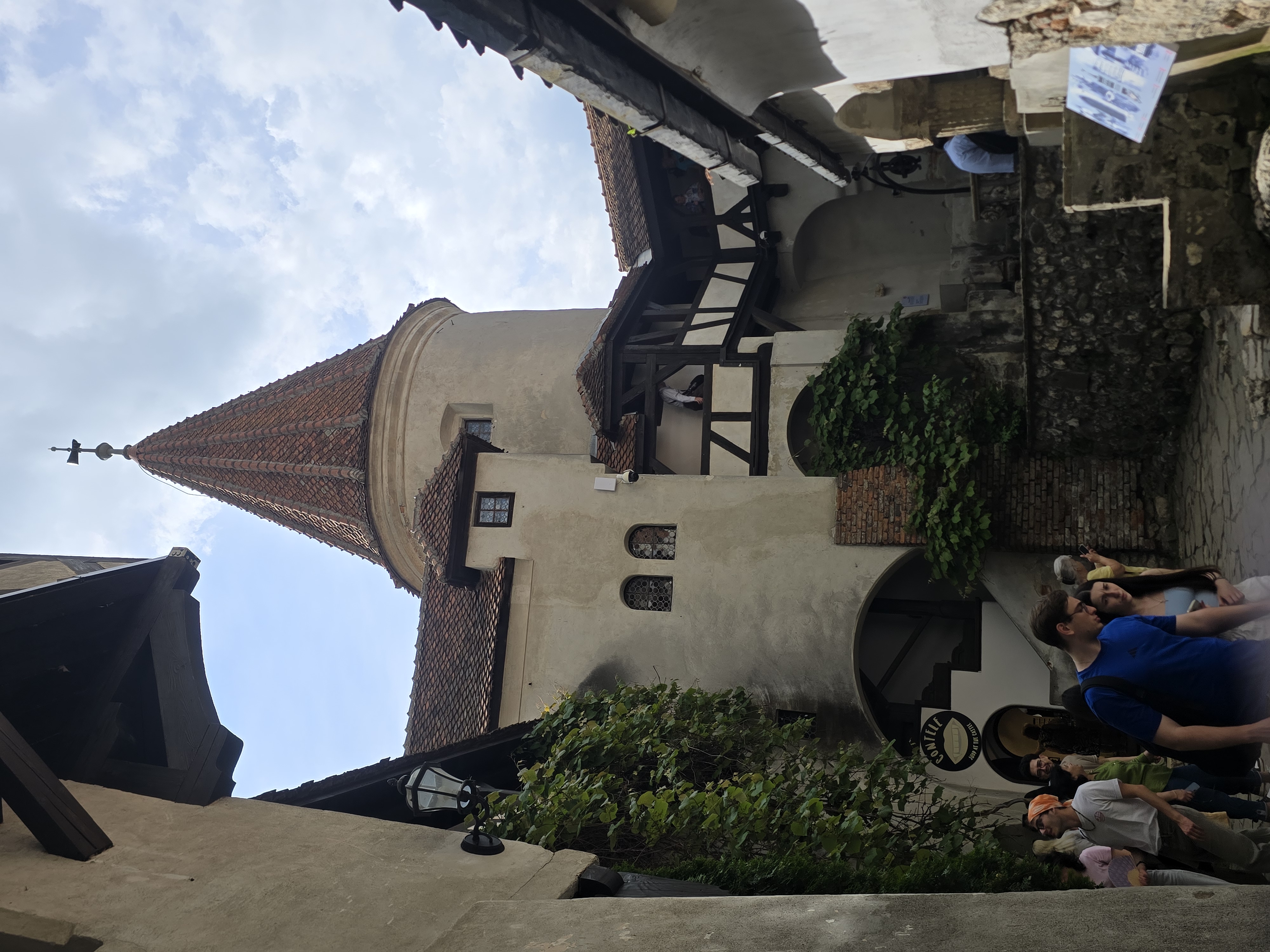
Fig 2.3 A picture of Bran Castle
- Peles Castle 5 June 2026 Located in Sinaia, in the southeastern Carpathian Mountains, Peleș stands as a symbol of Romania's royal history. The visit showcased its striking architecture and richly decorated interiors, easily the most ornate building we saw during the week.
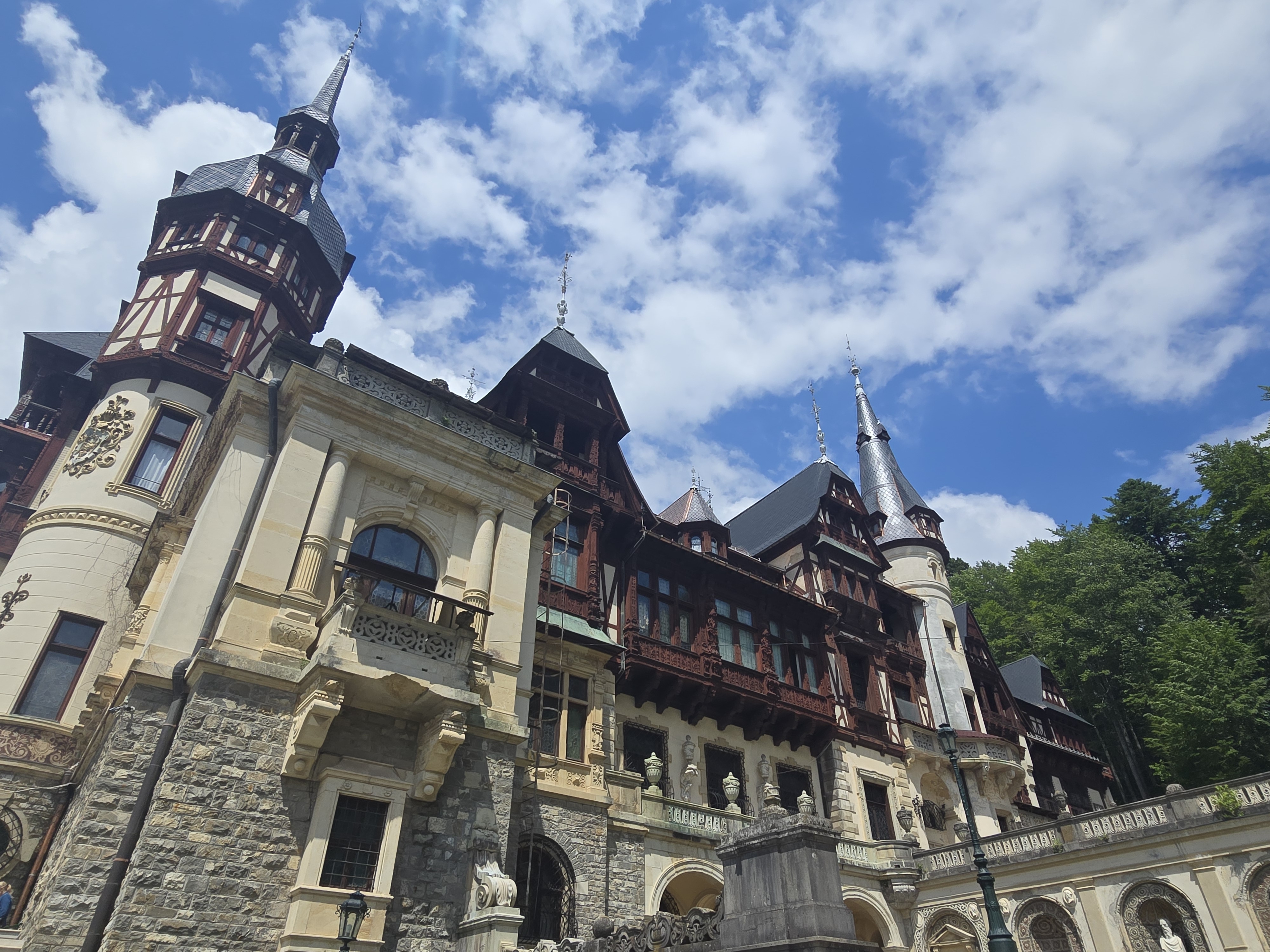
Fig 2.3 A picture of Peles Castle
What I learnt
Looking at the programme's stated goals against my own experience, these are the areas where I came away with something concrete:
- Operating drones and setting up flights. I got real hands-on practice flying DJI drones (including the DJI Mini 2 and the Matrice) and setting up flight plans, rather than just reading about how it should be done.
- Processing spatial data with the right tool for the job-. This was the biggest gain. I worked across several platforms depending on the data type: Drone2Map to build a 3D model of the fortified church, Agisoft Metashape for thermal imagery from the Matrice and multispectral data from the MicaSense sensor, DJI Terra for the LiDAR data, and eMotion for multispectral data from the eBee. Knowing which software fits which dataset is something I only picked up by doing it.
- Applying drones to environmental monitoring. I have a clearer sense of how these tools support tracking environmental change and managing natural resources, especially where thermal and multispectral data reveal things a normal camera cannot.
- Understanding the legal and ethical side. I am more aware now of the regulations and safety protocols that come with flying, which is easy to underestimate until you are the one holding the controller.
Reflections and takeaways
The main thing that changed for me is that I stopped thinking of a drone as a camera that hands you an answer. Across the RGB, LiDAR, and thermal sessions, the same lesson kept surfacing: the flight is the easy part, and the real work is in knowing what the sensor is actually recording and how much you have to correct before the data means anything. The thermal week made that concrete. A false-colour image can look convincing and still be useless if you have not accounted for emissivity, flight height, and calibration. I will carry that scepticism into everything I process from now on.
I would recommend the programme, though not to everyone. It rewards people who already have some footing in geospatial work and want to close the gap between reading about a method and actually running it. If you are hoping for a gentle introduction, the technical middle sessions might move quickly, but if you want to come away able to plan a flight and defend your processing choices, it delivers.
For me the value is in the data collection process itself. I came in wanting drone methods to be a real part of my future projects, and I am leaving with a clearer sense of what a sound acquisition workflow actually looks like: how to plan a flight around the sensor's limits, what to record on the ground while you fly, and how much of the final data quality is decided before you ever process anything. The thermal calibration workflow in particular planted a seed I want to follow up on, since accurate surface temperature is exactly the kind of data that decides whether an environmental or urban-planning conclusion holds up.
Using Drones in Environmental Sciences — CIVIS BIP, February to June 2026. Coordinated by the University of Bucharest with Paris Lodron University of Salzburg, University of Tübingen, and Universidad Autónoma de Madrid.